
























![[ERROR]: Lack of Women in the Software Industry](https://theechohsmse.com/wp-content/uploads/2024/12/APC_0280-984x1200.jpeg)






Autumn is a beautiful season and, personally, my favorite. The cool weather is perfectly in the middle, not too hot, not too cold. Sweater weather. The beautifully vibrant colors of the tree leaves as they fall to the ground and the ever-present feeling that winter is coming. However, as you may have noticed, something seems off this year. It just doesn’t feel like autumn. Temperatures have been oddly warm, and now we’re experiencing a drastic shift to cool weather without that sweet in-between. While you might be thinking that this is just an unimportant isolated phenomenon, it goes further than you might think. The reasons behind such shifts are surprising and important to educate oneself about because they will grow to affect much more than just our Autumn weather. Some people might be thinking that perhaps this is an effect of the El Niño weather phenomenon. For those who don’t know what this is, the El Niño weather pattern is characterized by a warmer ocean surface temperature. This, in turn, can lead to higher temperatures through warmer airstreams. Yet, when looking at our situation, it clearly isn’t an effect of the El Niño Cycle, as weather patterns show, so what exactly is it? When looking at reasons for this, we must start a little further back. Since the 1990s, the average temperature in NYC has risen two to three degrees Fahrenheit. This means that, although small, we are already experiencing autumns that have a higher temperature baseline.
One reason for the heat this season is the overall rising global temperatures as a result of climate change. More heat leads to more trapped heat, which, in turn, leads to a longer waiting period for such heat to be released. This effect compounds, and we need to be aware of it. Climate change leads to extremes in both directions: As temperatures rise, ice melts, and weather becomes more sporadic, heat will only increase, rain will decrease, and the cold temperatures will increase. Arctic warming leads to the jet stream of cold air from the Arctic being less stable, and potentially affecting us. The arctic jet stream is a quite powerful stream of cold polar air which flows in the upper atmosphere, separating this cold air from warmer mid-latitude air. When disrupted, this air can flow south and, in turn, decrease temperatures, leading to severe winter storms. It can also grow stagnant and lead to a high-pressure heat dome system, which traps air on the surface.
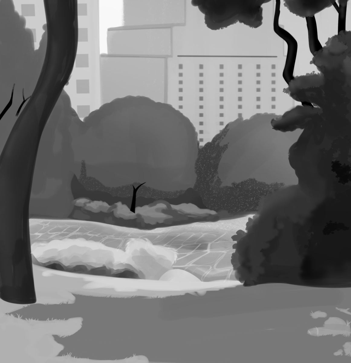
Another reason for this is the density of New York City’s urban environment. The asphalt from roads, pavement from the sidewalks, and buildings themselves all absorb heat, which can contribute to higher temperatures. When taking into account the fact that this year’s summer was already unnaturally hot, the connection is clear. The ground and buildings held onto the heat unleashed upon NYC during the summer, and we are still feeling the effects. The land takes time to release such heat, and often does so at night, raising nighttime temperatures and leading to a thermal lag. This problem is well known and interestingly addressed in many places, including Singapore. Singapore has been extensively planting greenery to reduce heat resulting from urbanization. By planting trees, shrubbery, and rooftop gardens, Singapore helps reduce its temperature naturally. These plants, using evaporative cooling where plants release water vapor, provide insulation which leads to less need for AC, along with a natural shade. They have helped transform the city’s landscape and decrease temperatures by upwards of four degrees Fahrenheit.
Another thing that absorbs heat is the oceans. A global rise in ocean temperatures paired with the sweltering heat this summer has led to a similar warming effect, just from the waters. Like our man-made structures, the ocean also absorbs heat, which not only disrupts its ecosystems but also heats our lives up. Water also takes time to release stored heat, and NYC’s proximity to such water is a reason for its warmth. This can also have the opposite effect and could explain the quick shift to cool weather we are experiencing. After warmth is released from these surfaces, natural or man-made, the drop in temperature is much more drastic than it would have been without a slowed release of heat. Surface temperatures in the Pacific are beginning to cool, indicating the La Niña cycle is beginning. When you hear La Niña, think of essentially the opposite of El Niño. Rather than higher ocean surface temperatures, La Niña is characterized by abnormally low surface temperatures. This decreased temperature is due to colder lower-depth waters being closer to the surface. This leads to colder air temperatures and pushes both the Pacific and Polar jet streams in a way that allows cool air from Canada to more easily enter the US.
Whether you like the warmth or the cold of this autumn, it is important to understand that the reasons behind this weird weather are worrisome. Extreme weather, along with irregular heating and cooling, is leading to the loss of the natural world, which keeps the balance we disrupted, and as a result, fire seasons will lengthen along with hurricanes and tornadoes. We need to push, as a community, for measures such as those taken in Singapore. This is the only planet we will most likely ever live on, and it is our job to ensure that not only we, but the generations beyond us can live on it. This starts with your awareness of why these temperature changes are happening and sharing it with your peers and family.